VinAero

Your reliable geomatics provider

About us

Since 2007 we successfully performed many geomatics projects of different complexity. Our experience allowed us to accomplish various tasks of numerous clients. We have core stuff of 12 professionals and it can be scaled on demand.

Click here to see the information about the realized projects.

We are ready to help you with your mapping projects.

Adaption and consulting. Each client has its specials needs. And we need to be adaptive to provide exactly such services customer requires. And our competences helps us to conform to this principle. We adopt our technology and consult client helping to adopt his processes to conform the modern trends.

"Since 2015 I was in charge in GTA GeoService GmbH for cooperation with VinAero. VinAero was our contractor in the framework of big contracts for 3D mapping of vast territories in Europe. Their main tasks were correction of automatically mapped 3D roofs, stereo mapping of big areas.
All projects were always carried out with high quality and on time. We were very satisfied with the collaboration and would be glad to continue our joint activity in future as well."
Torsten Kunicke
GTA GeoService GmbH

"We started our cooperation in 2008 and continue it till recently. During this period more than 200 projects have been finished as a result of our partnership. The most of the projects were devoted to stereo mapping.

Thanks to the technical consulting of Vinaero we managed to increase the productivity and to obtain better quality of our products.

We are very satisfied to make business with such a partner and would like to continue it in future."


Maxim Petrov
Visicom

Services

Aerial photography. We provide services of aerial photography using UAS (Unmanned Aerial System) in ultra high resolution (pixel size from 1 cm). We use different types of UAS depending on the customer needs. Multirotors are used for large scale photography of small areas and for 3D buildings mapping. Fixed-wing vehicles used for aerial photography of large areas especially in time critical cases.


Photogrammetry allows obtaining information from photography at different scales: from nano (atoms) to macro (planets) objects. We are using it to discover the information about Earth.
Using our rich competences in this field we offer professional services in protogrammetry field:
– Aerial Triangulation with bundle block adjustment.
– UAS data processing.
– Stereo mapping over aerial photography with contourlines in a wide range of scales from 1:500 to 1:10 000.
– DEM/breaklines extraction.
– Mapping 3D models of building of the cities over both aerial or satellite images with texturing.
– Adapting the technology to meet all customer needs.

Orthophoto Mosaic is the most demanded product we get from aerial photography despite of the technology used: UAS, classical aerial or satellite photography. It simplifies the representation of mapping data for non professionals and could be used by customers in many ways.

We provide the whole technology to produce the orthophotos at a high level:

– Aerial Triangulation with bundle block adjustment including UAS data processing.

– DEM/breaklines extraction.

– Final orthophoto transformation and mosaicing.

Mapping. Maps are used in different fields of human activity. We provide mapping services for geodesy, cartography, cadaster, building, mining, agriculture, energetics and others. The main processes to produce maps are:
– Digitizing the scanned maps.
– Mapping over the aerial and satellite orthophotos.
– Updating of the existing vector maps.

Geoportals. The new digital age requires the new approach to represent and process the data. Geoportals play a key role in this process in the mapping field. There are classical map-like portals also known as 2D digital maps and 3D portals. Last ones have more advantages over classical maps as they are close to the real world. One of the popular 3D products is so called digitals twins or 3D cities.

Our favorite platform is Cesium.

We provide all the spectre of services from the data acquisition to publishing these data in the form of geoportal.

Competences

We have great competences in geomatics. Please find below the list of selected completed projects.

Stereo mapping

Stereo mapping

  • Mapping/updating of the cities and rural areas of Denmark over the aerial photography: Odense, Sydmidt, Gladsaxe, Kolding, Viborg, Albertslund, Ballerup, Gladsaxe, Tornby etc.
  • Forest inventory of the Gulen area over NIR photography
  • Footprints extraction of the EU and USA cities: Leipzig, Madrid, Brussels, Wien, Barcelona, Leuven, Salzburg, Malaga, York, Oxford, Dijon, Verona, Wolfsburg, Solingen, New York, Austin, Los Angeles, Boulder, Toronto etc.
  • DEM grid with breaklines of Cobourg
  • 3D buildings mapping/correction of German lands and Taiwan
  • DEM with breaklines over satellite images of Teheran, Lima, Baky, Makkah, Sana, Purtajaya, Toronto, Hims, Aleppo, Latakia, Pyongyang, Beirut, Moscow and many other cities including Russian and Ukrainian ones
  • Mapping of the 3D buildings over satellite images: Teheran, Lima, Makkah, Purtajaya, Baky, Navoi, Almaty, Dhamar, Sana, Al-Mukalla, Hims, Latakia, Pyongyang, Beyrut, Tunis, Dakka, Cairo, Moscow and many other cities including Russian and Ukrainian ones
  • DEM and topographic mapping of Canadian semi-rural area 1:500
  • Mapping of the Madrid-Sevilla railroad 1:5 000
  • Topographic mapping of Qalansawe 1:5000, Yafia, Kazir and Bnei Yehuda 1:1250
  • Topographic mapping of the part of Kryvyy Rig, Mogilev, Dnepr and many other rural areas of Ukraine, 1:2 000

Aerial photography

Aerial photography

  • Aerial photography of many parts of Ukraine using UAS with aerial triangulation and further stereo processing using digital photogrammetric station/software, at scales 1:500 – 1:2 000

Orthophoto mosaic

Orthophoto mosaic

  • DEM with breaklines and orthophoto mosaicing of the Ukrainian region Cherkassy 1:5 000 and 1:10 000
  • DTM and orthophoto of many Ukrainian areas over UAS photography

Mapping

Mapping over orthophotos/maps

  • Many regions of Russia 1:50 000, 1:100 000
  • Many regions of Ukraine 1:50 000
  • Moscow, Budapest, many cities in Russia 1:10 000
  • Nepal, Kyrgyzstan, Tajikistan, Belorussia etc. 1:100 000
  • Congo 1:200 000
  • Digitizing of the scanned maps of Russian and Ukrainian areas 1:10 000, 1: 50 000, 1:100 000
  • Regions of Ukraine 1:2 000

Samples of numerous data processed in the course of these projects could be provided on request.

References

  • GTA Geoinformatic GmbH, Germany

2010-2014. Stereo roofs footprints mapping for 630.000+ buidlings. DEM for 50 km². Production of 2.000+ landmarks.


  • GTA Geoservice GmbH, Germany
  •  

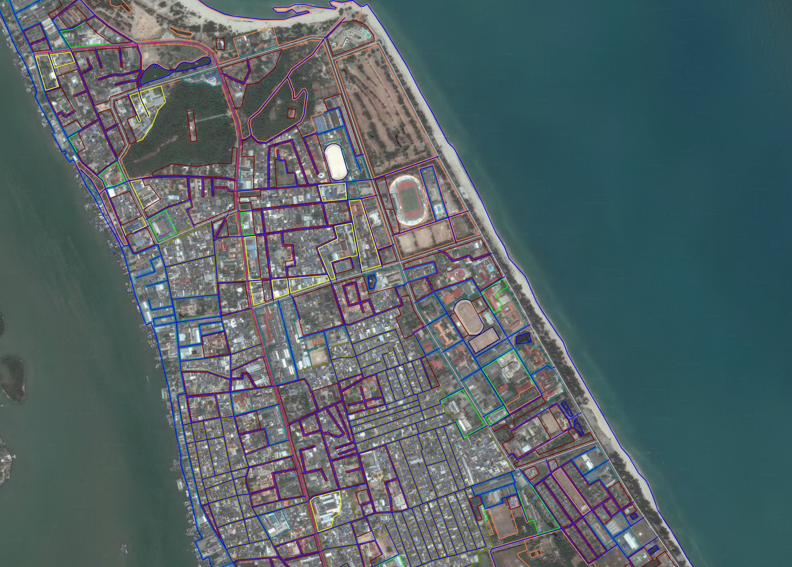
2015-2020. Stereo 3D roofs mapping partially with texturing for 7.000.000 buildings. Stereo mapping/editing for 300 km²


  • Ofek Aerial Photography, Israel
  •  

2016. Stereo mapping of the Israel territory for 2.500+ ha.


  • Haskog, Norway

2008-2009. Stereo mapping of Norwegian forest inventory for 15.000+ ha.


  • BlomInfo Ukraine

2007-2010. Stereo mapping/editing of Denmark for 400.000 ha.


  • Intetics, Ukraine
  •  

2012. Stereo mapping/DEM of Canadian territory for 3.500 ha.


  • Visicom, Ukraine
  •  

2008-2022. Stereo roofs mapping for 4.500.000+ buildings. DEM/relief for 250.000 km². Mapping of different countries territory for 2.500.000 km².


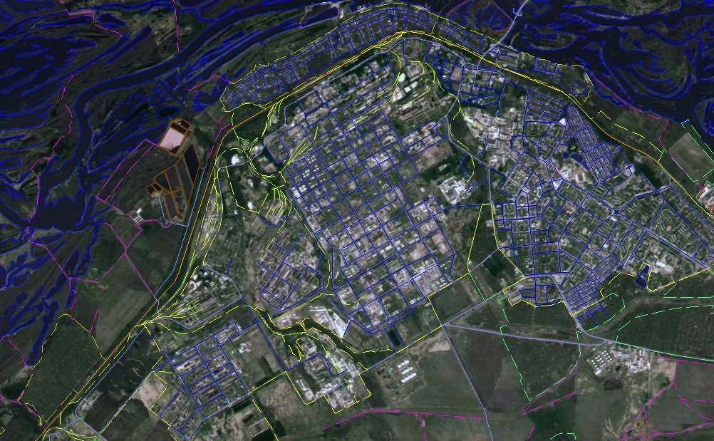
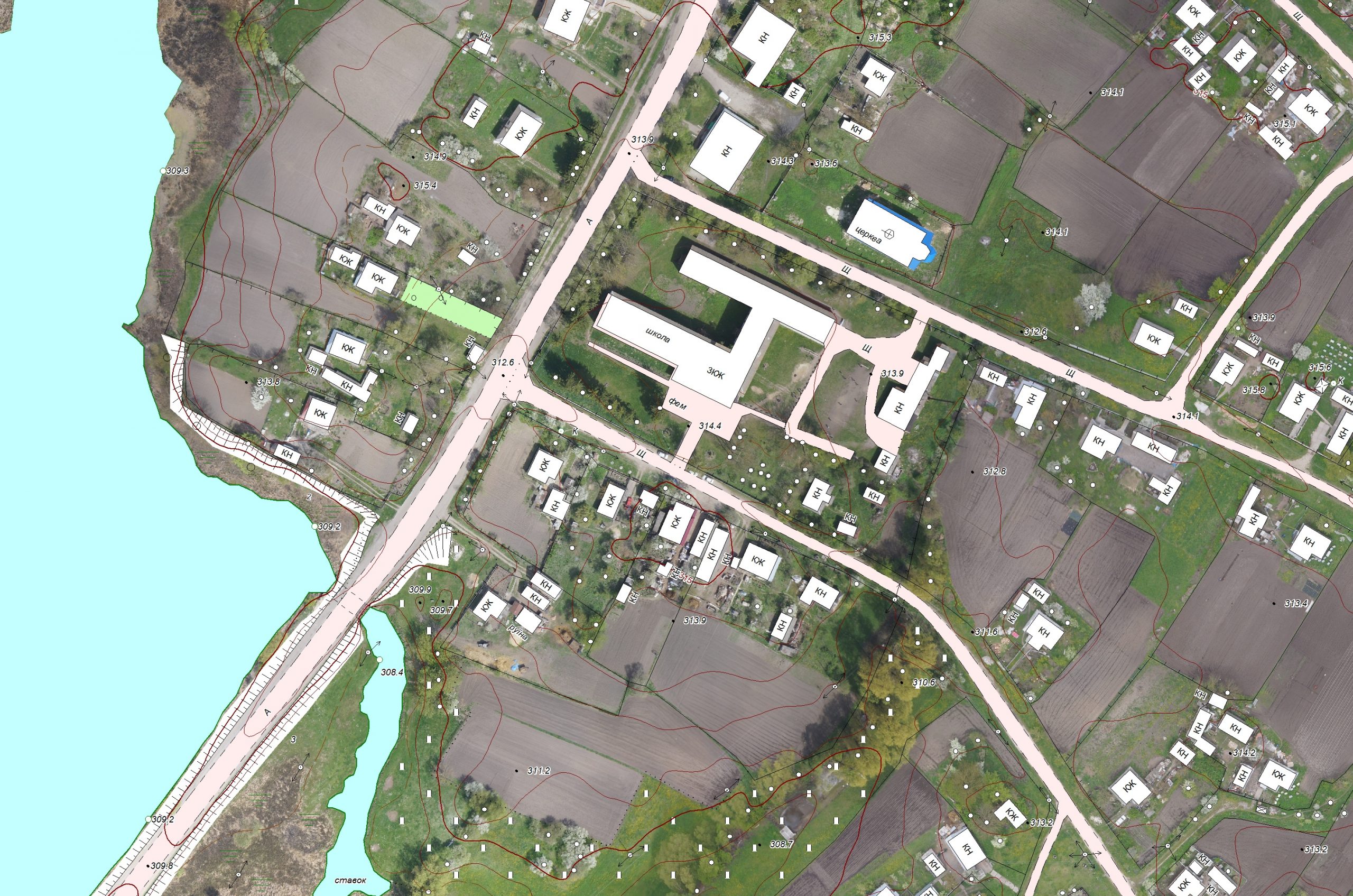
  • Local authorities of Ukraine
  •  

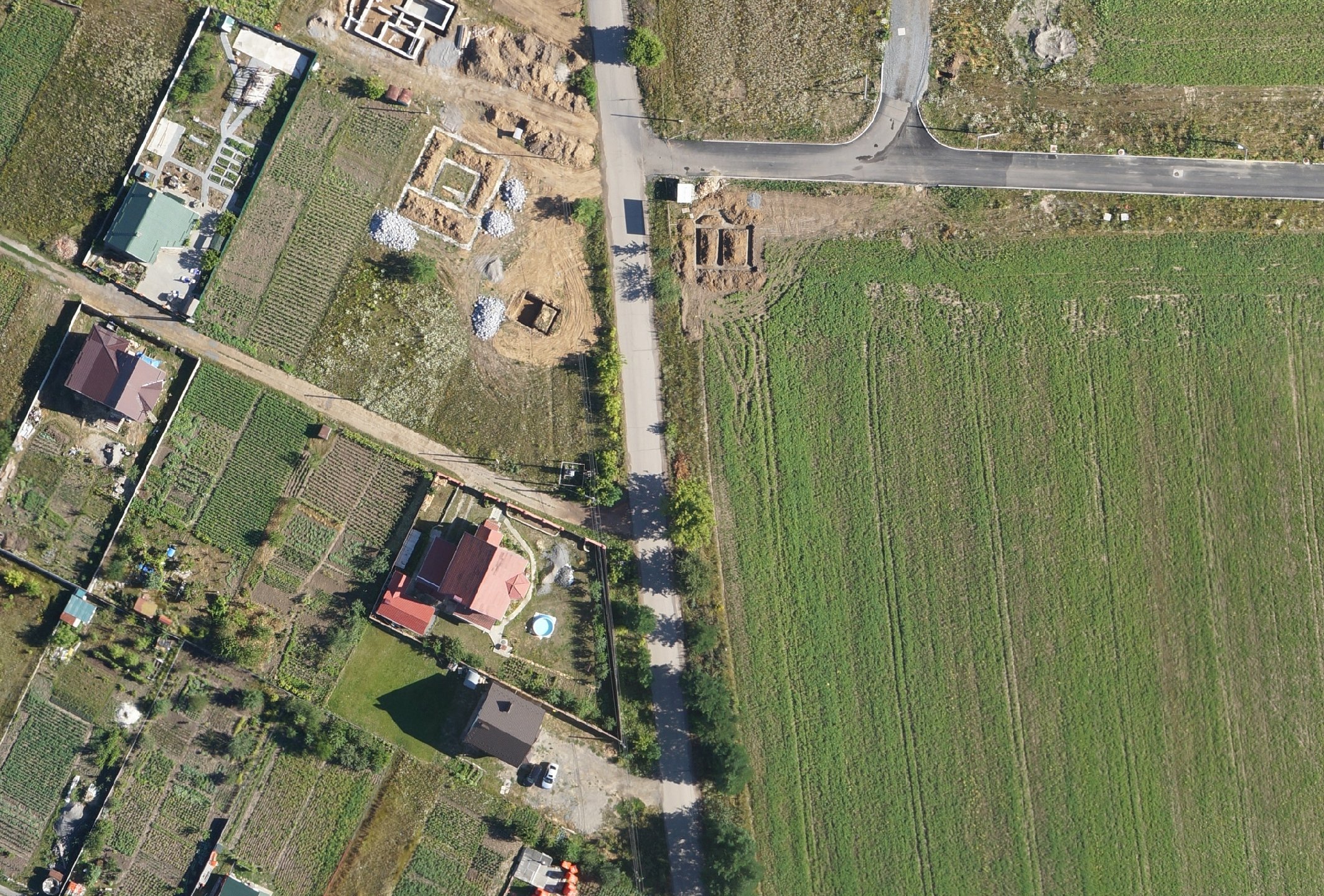
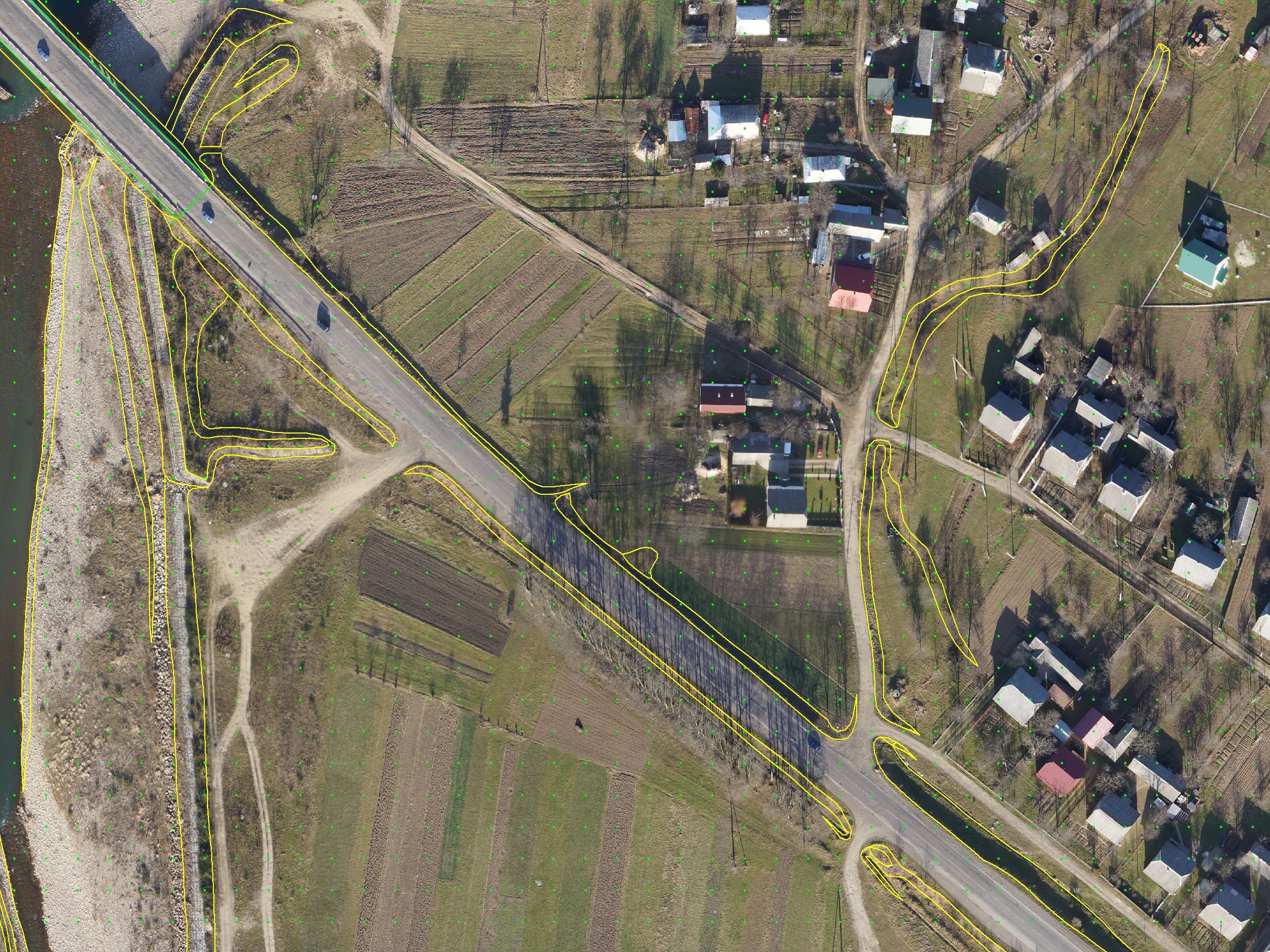
2011-2021. Aerial photography using UAS of 300 km². Stereo mapping for 400 km². DEM and orthophoto production for 23.000 km².

Contact

Phone: +38 0432 55 03 90
Mobile: +38 068 209 29 26
e-mail: info@vinaero.eu

Contact in the Switzerland:
Detlef Mende
detlef.mende@vinaero.eu
detlef.mende@zeroengineering.ch